OpenStreetMap
OpenStreetMap is a collaborative mapping website and open geographic database where volunteers create, edit, verify, and share map data used by websites, apps, researchers, businesses, and humanitarian projects.
What OpenStreetMap is
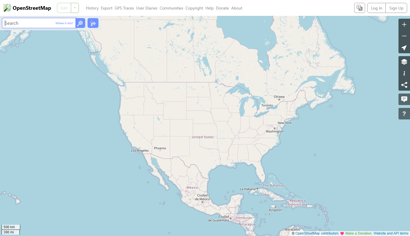
OpenStreetMap is a collaborative map website and open geographic database. On OpenStreetMap.org, people can search the map, inspect places, export data, trace GPS routes, and edit geographic information so roads, paths, buildings, businesses, transit features, and local details become part of a shared map.
Open map data
The project is not only a visual map. Its deeper value is the database underneath: roads, paths, waterways, buildings, addresses, boundaries, points of interest, and tags that describe what those things are. Developers and organizations can use that data to build maps, routing tools, research projects, logistics systems, and location-aware applications.
Community mapping
OpenStreetMap depends on contributors who know places, survey streets, trace imagery, upload GPS data, fix errors, and debate tagging conventions. That local knowledge can make the map unusually detailed in places where commercial maps are incomplete, slow to update, or focused on different priorities.
Licensing and attribution
OpenStreetMap data is open data, but it is not a no-conditions free-for-all. The project requires attribution and uses the Open Database License for the main database. People who use or adapt the data need to understand credit, share-alike obligations, tile-use limits, and the difference between map data, rendered tiles, and software.
Tools around the map
The ecosystem includes editors such as iD and JOSM, search tools such as Nominatim, routing engines, map tile styles, humanitarian mapping workflows, data extracts, and APIs. The public website is the most visible face, but much of OpenStreetMapโ€s importance comes from this surrounding infrastructure.
Strengths and limits
OpenStreetMap can be exceptionally rich where contributors are active, but coverage and tagging quality vary by region and feature type. It also faces operational limits: public servers and tiles are shared community resources, so heavy commercial use usually requires separate hosting, paid providers, or careful compliance with usage policies.
Why it matters
OpenStreetMap gives the web a public, editable alternative to closed map databases. It supports civic projects, disaster response, accessibility work, research, navigation, outdoor mapping, and small applications that need geographic data without depending entirely on one proprietary mapping company.
WHOIS domain data
Data pulled: May 24, 2026View current WHOIS record
- Domain
- openstreetmap.org
- IP address
- 151.101.1.55
- Registrar
- Gandi SAS
- WHOIS server
- whois.gandi.net
- Referral URL
- http://www.gandi.net
- Created
- August 9, 2004
- Updated
- May 30, 2025
- Expires
- August 9, 2029
- Nameservers
- rajeev.ns.cloudflare.com (173.245.59.224); daisy.ns.cloudflare.com (172.64.32.90)
- Domain status
- clientTransferProhibited
- Registrant contact
- Name, street, city, postal code, phone, and fax are redacted for privacy; organization OpenStreetMap Foundation; country GB; email f90a605550f5b1e0a1fc027642c970fc-1423009 [at] contact [dot] gandi [dot] net
- Admin contact
- Redacted for privacy; email 76c272b1308279b0ee7c940d9675de3e-9063024 [at] contact [dot] gandi [dot] net
- Tech contact
- Redacted for privacy; email 1e3fd8d3b4c07bf5112b00b18428aedc-9063006 [at] contact [dot] gandi [dot] net
- DNSSEC
- signedDelegation