Komoot
Komoot is an outdoor route planning, navigation, and activity platform for hiking, cycling, running, bikepacking, and other adventures.
What Komoot is
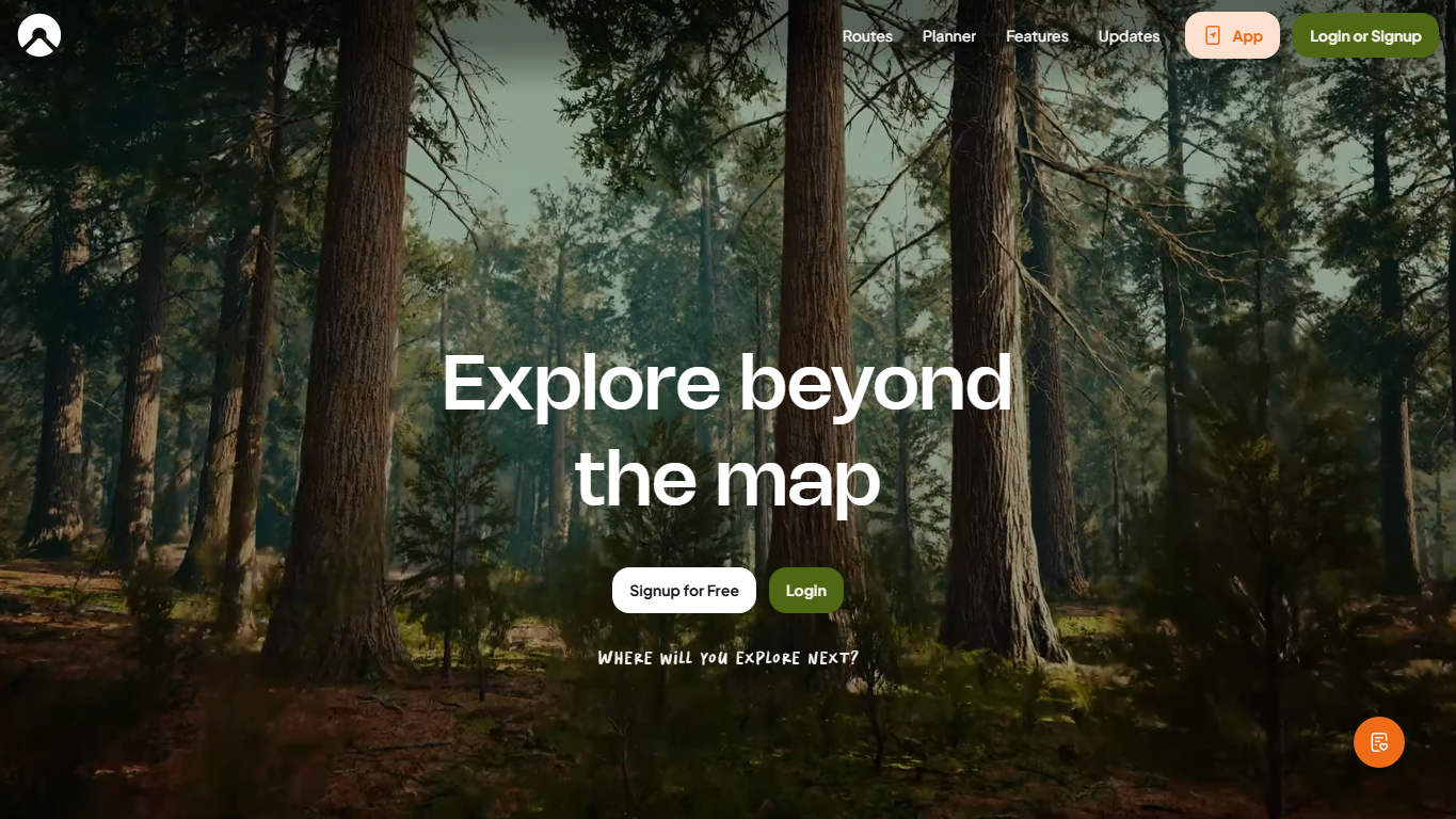
Komoot is a route planning website and mobile app for outdoor activities such as hiking, cycling, running, mountain biking, and bikepacking. People use it to discover routes, plan trips on a map, follow turn-by-turn navigation, record completed activities, and share outdoor recommendations with other users.
Route planning
Komoot's planner lets a user choose a sport type, starting point, destination, and waypoints, then review distance, elevation, estimated time, surface details, and route shape. Routes can be adjusted manually by moving points or dragging the route line, which helps riders and hikers balance speed, scenery, terrain, difficulty, and access.
Routes and activities
Komoot separates planned routes from completed activities. A saved route is something a user plans for the future, checks for distance or elevation, and can later navigate. A completed activity is a route that was actually recorded or followed, often with photos, statistics, and a profile entry after the trip.
Community discovery
The site and app use community knowledge to help people find places and route ideas. Highlights, recommendations, shared collections, photos, and public tours can make local knowledge visible to visitors, while privacy settings let users decide what parts of their own profile and activity history are public.
Why it matters
Komoot matters because outdoor navigation is different from ordinary point-to-point driving directions. A good hiking or cycling route needs to care about trail access, surface type, elevation, difficulty, scenery, traffic exposure, transport links, and the user's activity. Komoot packages those concerns into a planning workflow that is easier for many people than reading raw map data alone.
Limits and cautions
Outdoor route planners are decision aids, not guarantees. Map data can be incomplete, trails can close, weather can change quickly, and a route that is legal or mapped may still be unsafe for a specific person, bike, season, or time of day. Users should check local rules, conditions, equipment, battery life, offline access, and personal ability before relying on any planned route.
WHOIS domain data
Data pulled: May 19, 2026View current WHOIS record
- Domain
- komoot.com
- IP address
- 3.162.112.113
- Registrar
- Amazon Registrar, Inc.
- WHOIS server
- whois.registrar.amazon
- Referral URL
- http://registrar.amazon.com
- Created
- October 30, 2008
- Updated
- September 25, 2025
- Expires
- October 30, 2026
- Nameservers
- ns-1115.awsdns-11.org (205.251.196.91); ns-655.awsdns-17.net (205.251.194.143); ns-240.awsdns-30.com (205.251.192.240); ns-1965.awsdns-53.co.uk (205.251.199.173)
- Domain status
- clientDeleteProhibited; clientTransferProhibited; clientUpdateProhibited
- Contact privacy
- Registrant and technical contacts are listed through Identity Protection Service on behalf of the komoot.com owner.